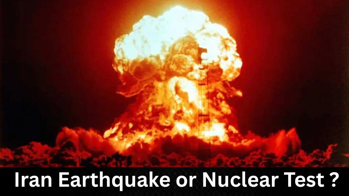
Are the recent moderate earthquakes in southern Iran, including the M4.5 event on 7 April 2026, natural tectonic activity or secret underground nuclear tests? Social media is full of dramatic videos showing shaking trucks and rising dust clouds, with many people asking: “Is this real or fake?”
In this detailed fact-check, we look at the evidence in simple terms. We examine the latest quakes, the old videos going viral, and what global seismic experts actually say. No hype — just clear facts.
What Happened Recently in Iran?
On 7 April 2026, a magnitude 4.5 earthquake struck near Nurabad in Fars province, southern Iran. The epicentre was about 21–25 km southeast of Nurabad (roughly 87 km northwest of Shiraz). It happened at around 11:09 am local time and had a depth of about 22 km.
A few days earlier, on 4 April, a M5.1 quake hit near the Turkey-Iran border and was felt in parts of northwest Iran. Earlier in March 2026, there were smaller events, including a M4.3 near Gerash in Fars province on 3 March and a M4.1 west of Bandar Abbas on 7 March.
These are moderate quakes. No major damage or casualties were reported from the April 7 event. People in the area felt light to moderate shaking, which is normal for this size.
Why Do So Many Earthquakes Happen in Iran?
Iran sits where the Arabian Plate slowly pushes into the Eurasian Plate. This creates huge pressure, especially in the Zagros Mountains in the south and west. The ground folds and faults slip, releasing energy as earthquakes.
Moderate quakes of magnitude 4 to 5 are quite common here — dozens happen every year. The region is one of the most seismically active in the world because of this natural plate movement. Shallow depths (10–22 km) make them noticeable, but they rarely cause widespread destruction unless they hit a big city with older buildings.
The Viral Video: Old Footage, Not New Proof
Many posts claim: “JUST IN: Trucks shake on the road and dust rises from mountains in Iran. This is not natural!”
Fact: This video is not new. It comes from the November 2021 earthquakes in southern Iran (Hormozgan province, magnitudes around 6.0–6.4). News outlets like TRT World and others shared it at the time. The same clip has been recycled during past tensions in 2024, 2025, and now in 2026.
Why the visuals look dramatic but are normal:
- Moderate shaking easily rocks parked or moving trucks.
- In the dry, rocky Zagros Mountains, loose soil and sediment on slopes get dislodged by even light tremors, creating visible dust clouds. This is a common sight in Iranian earthquake videos and has nothing to do with explosions.
Fact-checking organisations have repeatedly confirmed this is recycled 2021 footage being used to push current claims.
Can Seismologists Tell Earthquakes Apart from Nuclear Tests?
Yes — very reliably.
International experts use global monitoring networks to study seismic waves:
- Natural earthquakes involve fault slip over a large area. They produce strong S-waves (side-to-side shaking) as well as P-waves. The pattern is called a “double-couple” mechanism.
- Underground nuclear explosions act like a point source. They mainly create P-waves with very weak or no S-waves. The signature is more uniform and “explosive.”
Other clues include:
- Depth and exact location (along known faults for quakes).
- Frequency content and waveforms recorded by dozens of stations.
- No radioactive gases or other explosion signals.
For the March 2026 M4.3 near Gerash (Fars), the CTBTO (Comprehensive Nuclear-Test-Ban Treaty Organization) analysed data from 17 primary and 10 auxiliary seismic stations. They stated clearly: “The waveforms of this event are consistent with a natural earthquake in a seismically active region.”
Similar conclusions came for the April 2026 events and earlier ones in 2024–2025. Studies, including one published in the journal Seismica, have debunked nuclear claims by comparing waveforms to past confirmed natural quakes in the same area (e.g., 2015 and 2018 events).
A genuine nuclear test of any significant yield would show distinct global signals. No such evidence has appeared here. The CTBTO and USGS consistently classify these as tectonic.
Why Do Nuclear Test Rumours Spread So Easily?
- Timing: Claims often appear during heightened Middle East tensions.
- Misinformation travels fast: Dramatic videos and simple questions (“dust rising — not natural?”) get shared widely before facts catch up.
- Lack of understanding: Most people are not familiar with forensic seismology, so normal quake features get mistaken for something suspicious.
This pattern has repeated many times. Each time, scientific analysis shows natural causes. Similar rumours followed quakes in 2024 and were later debunked in peer-reviewed studies.
Bottom Line: Real Earthquakes, Not Nuclear Tests
The evidence is clear. Recent earthquakes in Iran, including the April 7 M4.5 near Nurabad and the March clusters in Fars, are natural tectonic events. They match Iran’s long history of seismic activity along the Zagros belt.
The viral video is old footage from 2021. Seismic waveform analysis by independent global monitors like the CTBTO rules out nuclear explosions. No radiological or other explosion signatures have been detected.
Iran is earthquake-prone by nature — that’s geology, not conspiracy. Moderate quakes like these are expected and have happened for centuries.
For reliable updates, check:
- USGS Earthquake Hazards Program
- EMSC (Euro-Mediterranean Seismological Centre)
- CTBTO official statements
Stay safe, and always verify dramatic claims with science before sharing. In a world full of tension, facts help cut through the noise.
You Might Also Like:
US Rescues Downed Pilot from Iran in High-Risk Operation, Trump Declares “We Got Him”
Dr.Fatemeh Ardeshir-Larijani Ousted from Emory, Visa Revoked After Protests Over Iran Links